Jabalia conditions before and after the bombing; Neither a building nor a tree!+ pictures

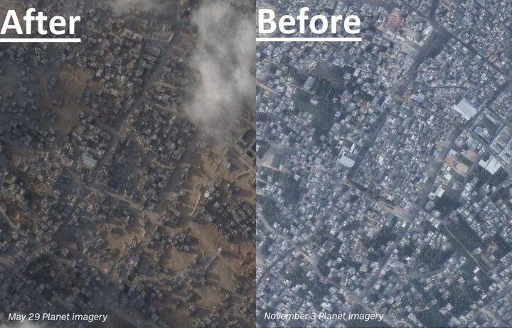
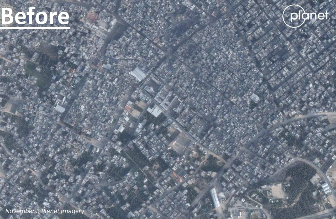
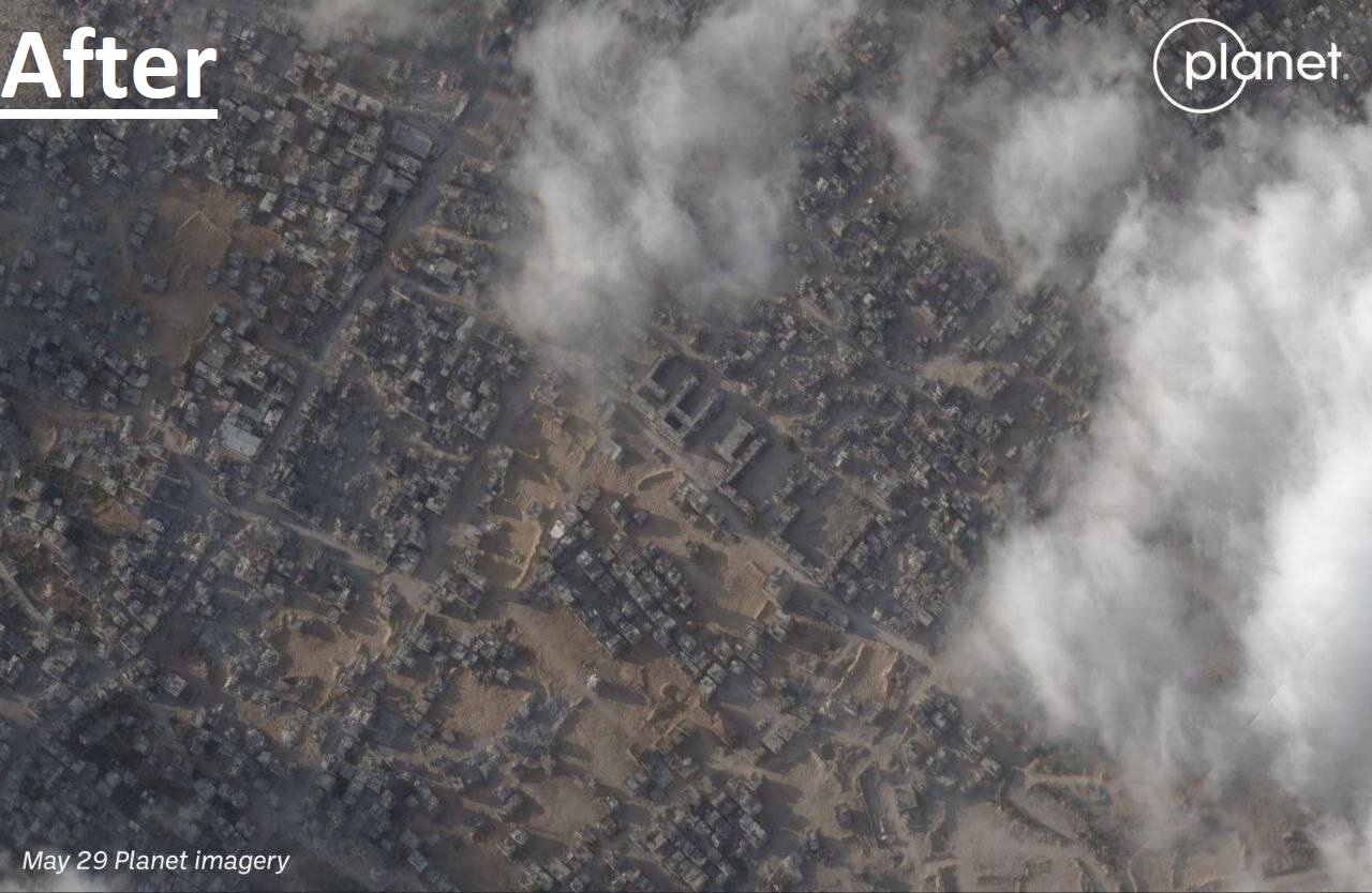
| Satellite images of the Jabalia area in the north of the Gaza Strip indicate the large amount of destruction in various residential, infrastructure and green areas of this area. |
report Mehr News Agency, according to Palestine El-Yum website, the satellite images released from the Jabalia area in the north of the Gaza Strip indicate that the continuous and brutal attacks of the Zionist army, in addition to the destruction of buildings Residential has completely destroyed the green space of this area.
The first picture was taken on November 3rd, four days before the start of the Gaza war, and the second picture was taken on May 29th, two days ago.


