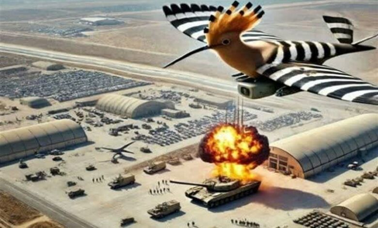
The fear that “Hooded” Hezbollah put on the Zionists
According to the international group Tasnim news agency, when the conflict between Lebanon’s Hezbollah and the Zionist regime The worst possible limit has been reached since October 2023, Lebanon’s Hezbollah sent a heavy shock to the Zionist regime by releasing a video of one of its intelligence drones. What is shown in the released Hezbollah film and the messages it carries can affect the future of war and the region.
A look at the contents of Hezbollah’s “Hodhud” drone video
The video released by Hezbollah in Lebanon is a combination of recorded images with accompanying graphics. It has been written that in these graphic images, it explains the different angles of the images taken. The movie starts with a logo of “Hoodhed” under which is written “Hoodhed” part one. (Image 1)
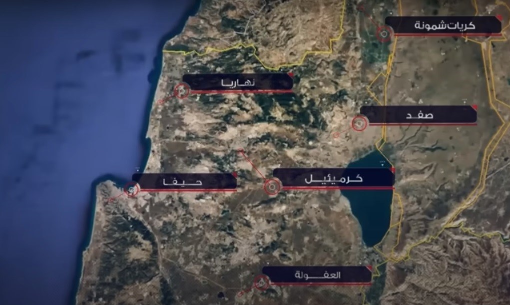
The first images, the moment the “Hoddh” drone was launched into the sky from among the dense trees of southern Lebanon followed by a graphic image of a map of Palestine on which six dots are highlighted with words. In this image, the six districts of Haifa, Nahariya, Safad, Kiryat Shemone, Karmeel and Afula are shown in detail. (Picture 2)
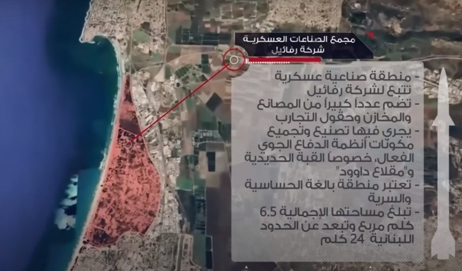
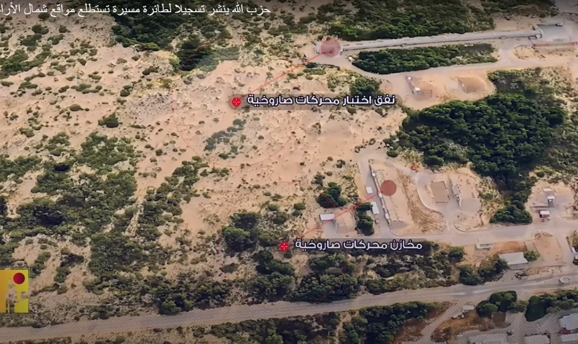
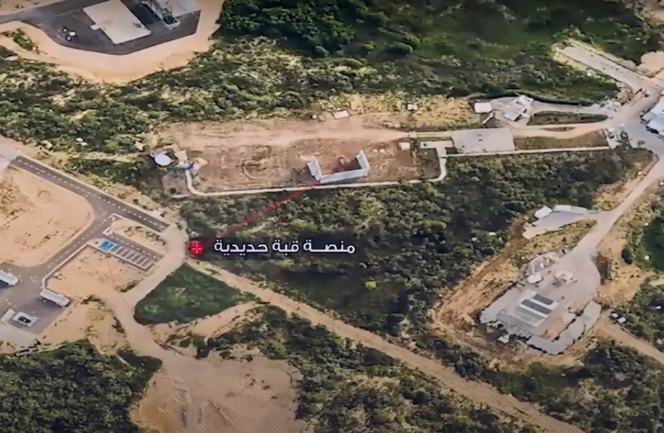
With a brief pause, the graphic image focuses on the “Haifa” area and provides information from The area photographed by “Hoddh” shows next to the map: the military industrial complex of the Rafael Company, the military industrial complex of the Rafael Company, which includes a large number of factories, warehouses and military testing grounds where the equipment of Israel’s active air defense systems is manufactured and assembled. Especially, the Iron Dome and the Flakhan of David are done. This secret regional point, with the highest degree of sensitivity, has an area of 6.5 square kilometers and is 24 kilometers away from the borders of Lebanon. (Image 3) Then, the recorded images begin with explanatory text. (Image 3)
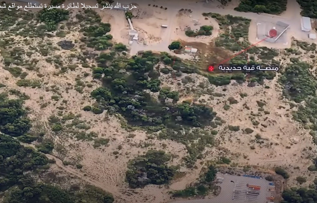
The first images shown are the exact location of the “Iron Dome” platforms in the region The mentioned and after that it shows the rocket engine test tunnel and storage warehouse for these engines. (Images 4 and 5)
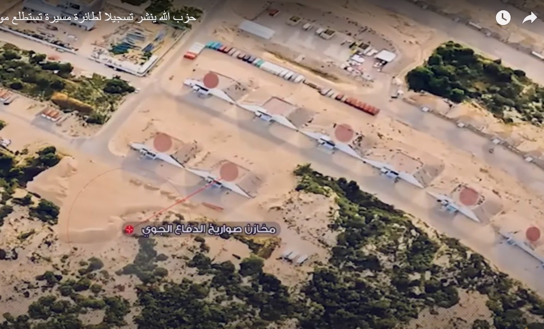
After that, it is the turn of the missile depots of the air defense systems which are located in this area. These warehouses are located next to each other and there are 8 slums, all of which are accurately displayed in red on the recorded image. (Image 6)
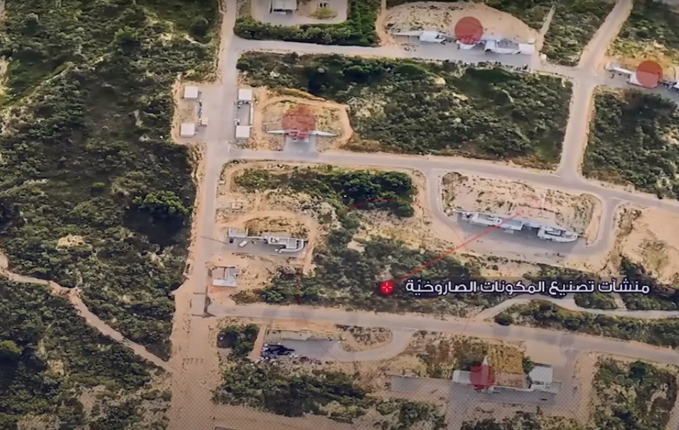
The next image is related to the missile parts manufacturing facilities that are placed next to each other in 5 points And the exact point of their placement is determined. (Image 7)
Hooded continues to record his pictures of another platform for placing the “Iron Dome” in this area. which is placed to protect this sensitive military area. (Image 8)
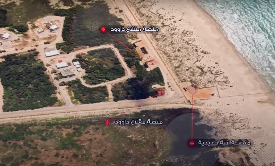
Immediately a little further from this platform, next to the seashore, another platform “Iron Dome” ” next to two “Flakhan Davo” platforms. (Picture 9)
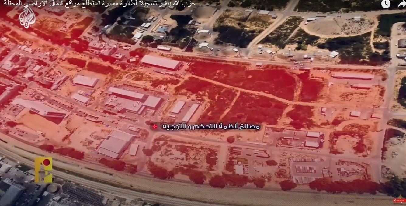
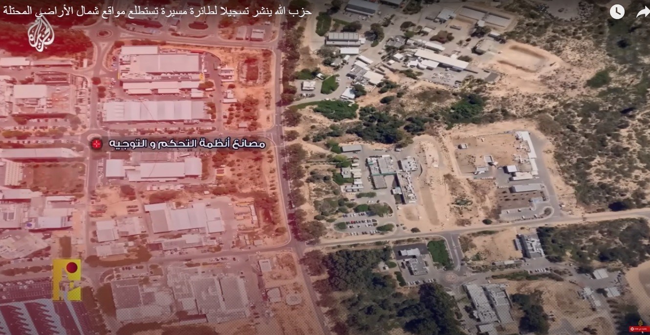
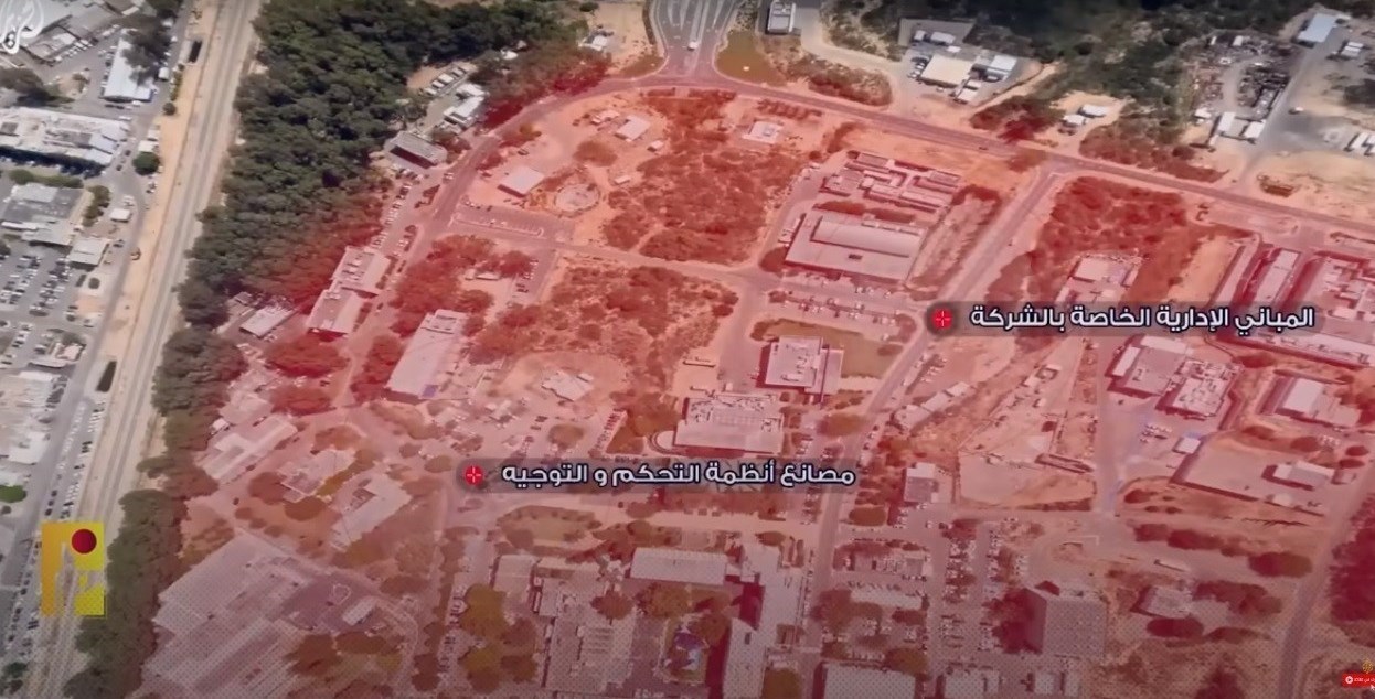
The next pictures of “Hooded” are from the vast area of ”control and guidance systems” factories which identifies them in 3 different formats with red color. In the third frame, the office buildings of Rafael company are also located. (Images 10, 11 and 12)
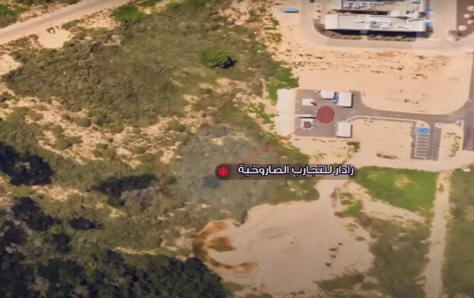
In the last part of the imaging of the “Rafael” military industrial complex, the “Hooded” drone shows the platform of a “missile test radar”. (Picture 13)
In this section, the images related to the “Rafael” military industrial complex end and the film moves to a new graphic image.
To be continued…
| © | Webangah News Hub has translated this news from the source of Tasnim News Agency |


