
Satellite images reveal Zionist regime movements in Gaza
Satellite Images Reveal Zionist Regime’s Movements in Rafah
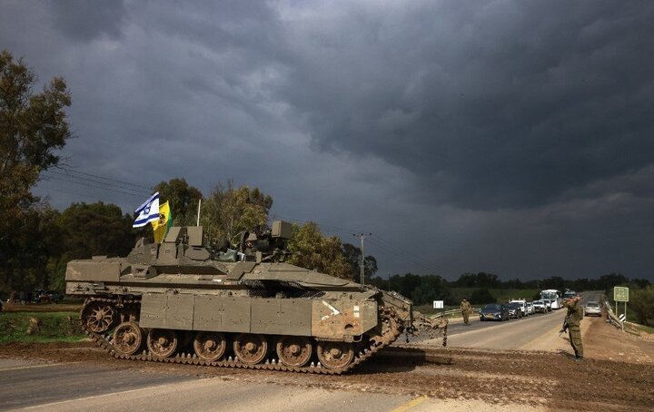
According to the English section of the Webangah News Agency,citing Mehr News Agency and Al jazeera,published satellite images indicate that the Zionist regime’s army has recently conducted movements to expand the “Morag” military axis in Fatah.
This area is located 470 kilometers from the coast of Rafah. The images show that the Morag axis, north of Rafah, has expanded over 9 kilometers, stretching from the Sufa crossing in the east to Tal al-Sultan in western Rafah.
The Zionist regime announced yesterday its intention to escalate military aggression against gaza Strip, with its war cabinet approving expanded operations.
As last March,Tel Aviv has blocked humanitarian aid from entering Gaza.