Flight Radar Visualizes US Skies Before and After Nationwide Ground Stop
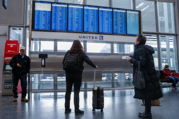
According to the International Desk of Webangah News Agency, data released by the flight tracking website Flight Radar presents clear visual evidence of the skies over the United States and the nation’s air traffic both before and after Washington’s directive to cancel outgoing flights. The FAA has indicated this restriction will remain in effect until further notice.
[https://cloud.webangah.ir/fa/news/files/medias/photos/2026/11/wg-inline-138d2672c2f9298201197aa2fb6f128c7b17037e67ea3b6fbc65a65ff3dca167.png]The U.S. Federal Aviation Administration (FAA) typically manages an average of 44,360 flights daily within the country, transporting over three million passengers through American airports each day. To oversee this immense volume of air traffic, the United States relies on a sophisticated infrastructure comprising 14,000 air traffic controllers, 527 control towers, and 146 radar systems.
On Friday, the FAA issued an order for a nationwide halt to all outgoing flights from U.S. airports, citing “extraordinary circumstances” and safety considerations. The agency stated that this restriction would be in place indefinitely.